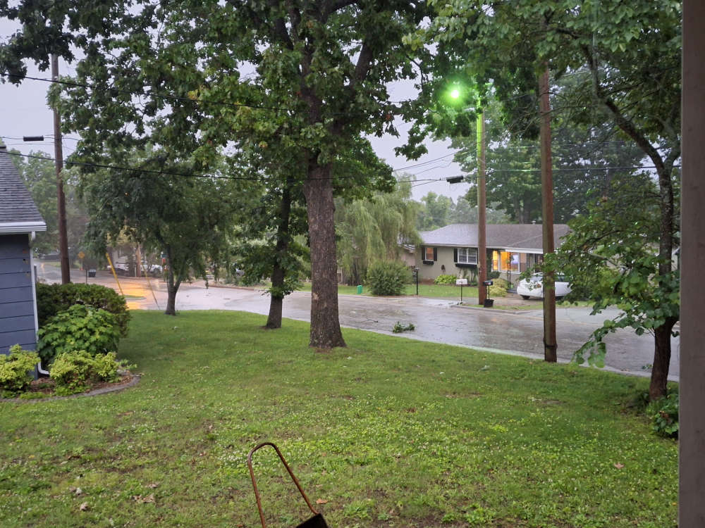
A storm moving through the Lakes Region today will bring strong winds, the chance of severe thunderstorms, and eventually a brief period of snow.
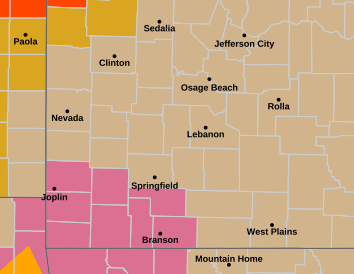
The National Weather Service has issued a Severe Thunderstorm Watch for parts of the Lakes Region this morning. Both the Branson and Harrison areas are in the watch area with counties including Barry, Christian, Stone, and Taney in Missouri along with Boone, Carroll, Madison, and Newton Counties in Arkansas.
Showers and thunderstorms will move through in a couple of waves, later this morning and another late afternoon into evening. A marginal to slight risk of severe storms are possible with the higher risk in northern Arkansas.
Winds will be strong and gusty today and even stronger on Wednesday, with possible gusts tomorrow up to 45 MPH. Wind Advisories are issued by the National Weather Service in northern Arkansas beginning at Noon today and for southern Missouri beginning at Midnight tonight.
The winds will shift this evening to the northwest bringing in cold air which could also change the precipitation to snow showers before ending Wednesday morning. Little to any accumulation is expected however strong winds and blowing snow could impact visibility.
Highs will only be in the 40s and lows in the 20s Wednesday but then begin a quick rebound upward through the end of the week.
 Weather Provides a Punctuation Mark to 4th of July Celebrations
 Man From Iowa Dies in Sunday Evening Crash
 College of the Ozarks Honored by U.S. Department of Defense
 Motorcyclist Rescued from Ravine
 Missouri AG: Be Careful of Scams Related to Heat