
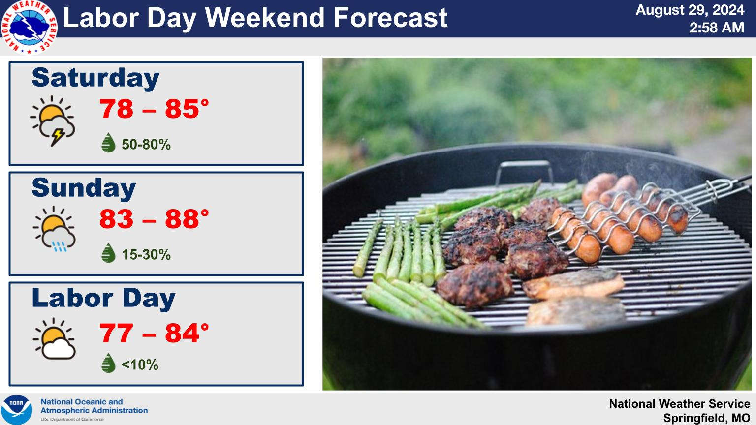
The latest run of summer heat is expected to exit the area after today according to forecasters with the National Weather Service.
Today’s high temperatures will be in the mid to upper 90s with Heat Index Readings into the 100s. A cold front will bring a chance of rain to the region, especially Friday afternoon that will begin the cool down with highs in the 80s for both Saturday and Sunday with rain chances continuing.
Labor Day Monday looks to be rain-free with temperatures holding in the 80s.


 Municipal Election Recap: Branson Ward 3 Change, Stone County Issues Pass Narrowly
 Municipal Election Day in Missouri
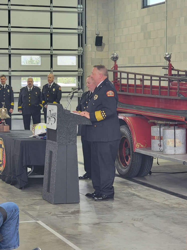 Branson Fire Chief Ted Martin Celebrated on Last Day on the Job
 Firefighters Rescue Driver of Vehicle That Went Down an Embankment
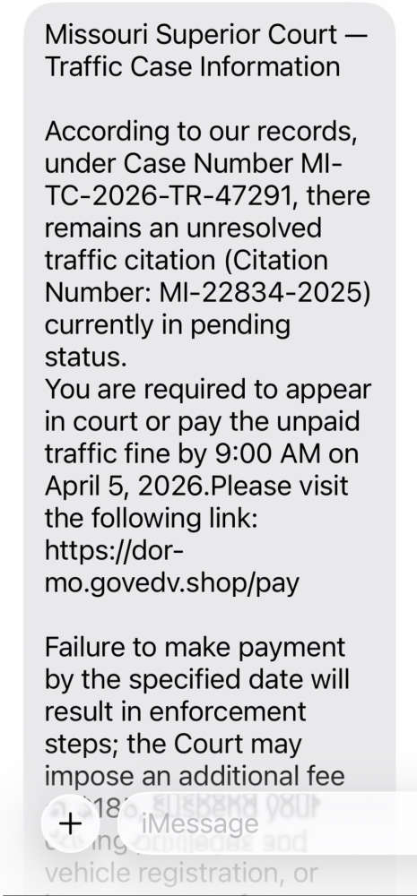 SCAM Warning from Missouri State Highway Patrol