

The Storm System that has been impacting the Lakes Region since Friday night will move out of the area by the end of the day but is still expected to have an impact this Easter Sunday.
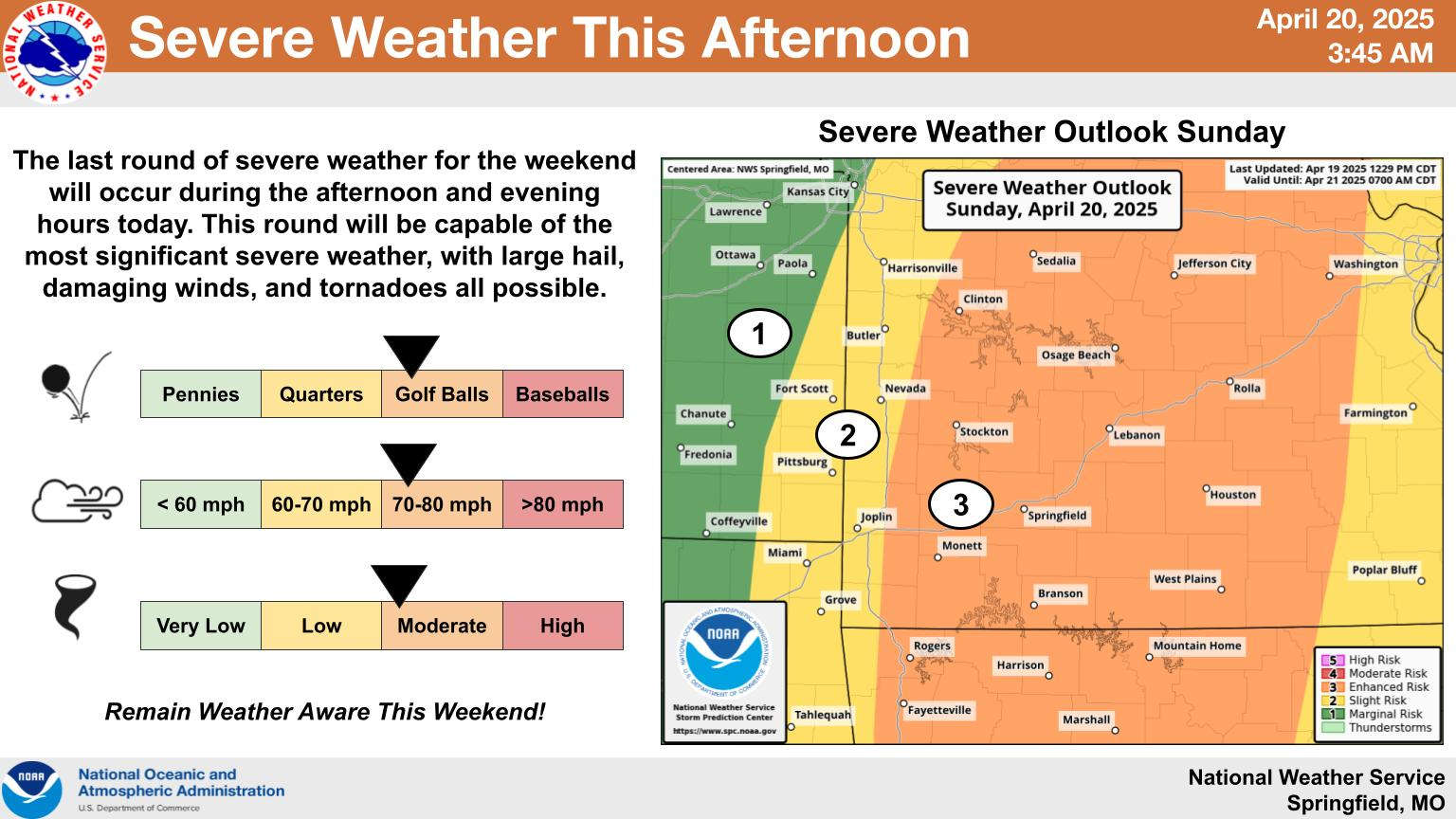
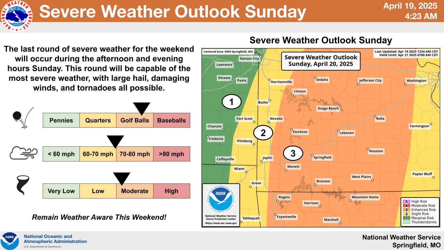
A first wave of storms are possible this morning with the Missouri Lakes Region including he Branson Area under a Severe Thunderstorm Watch. There will be a break in the weather for a time late morning into early afternoon before the final round of storms develop and move in this afternoon. All of the region is at a Level 3 or Enhanced Risk for Severe Weather including possible tornados.
Meanwhile, some areas are still experiencing impacts from rain already fallen. Flash Flood Warnings are in effect for Barry and northern Stone Counties this morning. A Flood Warning is also in effect for the James River and Boez and Galena where both areas are expected to eclipse Flood Stage today then drop back down sometime Monday. The Flood Warning for those two areas is in effect until early Tuesday.
Both Arkansas and Missouri continue under a Flood Watch through the day.


 Two People Arrested on Meth Charges
 Lakes Region Visitor Has First Confirmed Case of Measles in Missouri
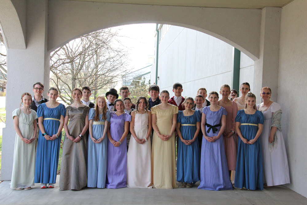 School of the Ozarks hosts Regency Day for seventh grade students
 Rainy Saturday, Stormy Easter Sunday