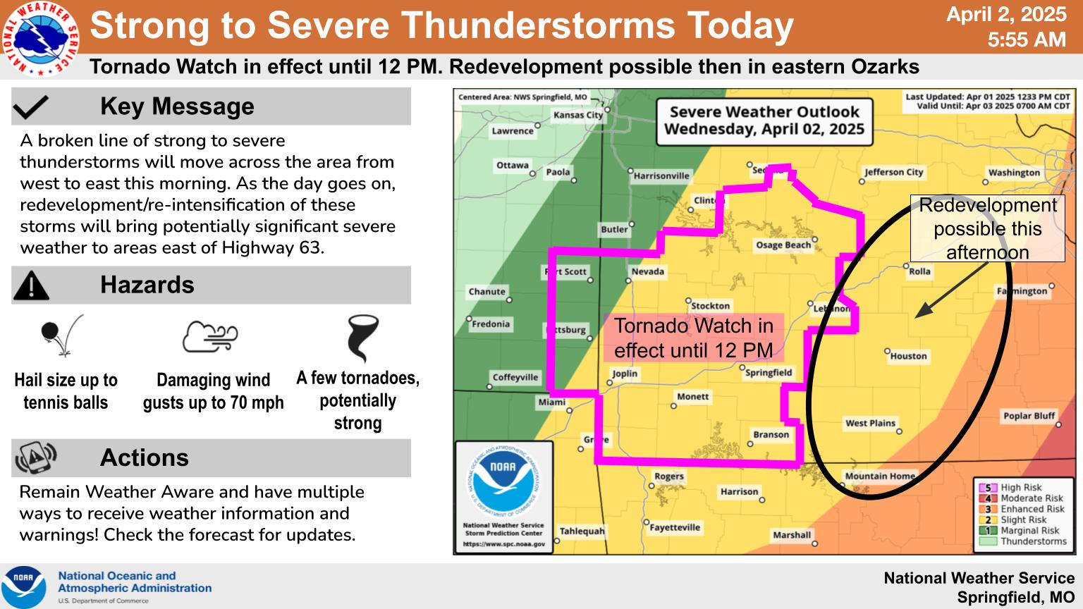
Another line of strong to severe thunderstorms roared through the region on Wednesday.
As with some of the other lines that have moved through, the storms got stronger as they moved east, including several tornados in southeast Missouri and northeast Arkansas.
Some storms did cause damage in the Lakes Region. Reports to the National Weather Service Office in Little Rock includes strong thunderstorm winds taking the roof off of a mobile home near the Boone/Newton County Line north of Western Grove as well as inch and a half hail reported near Yellville in Marion County.
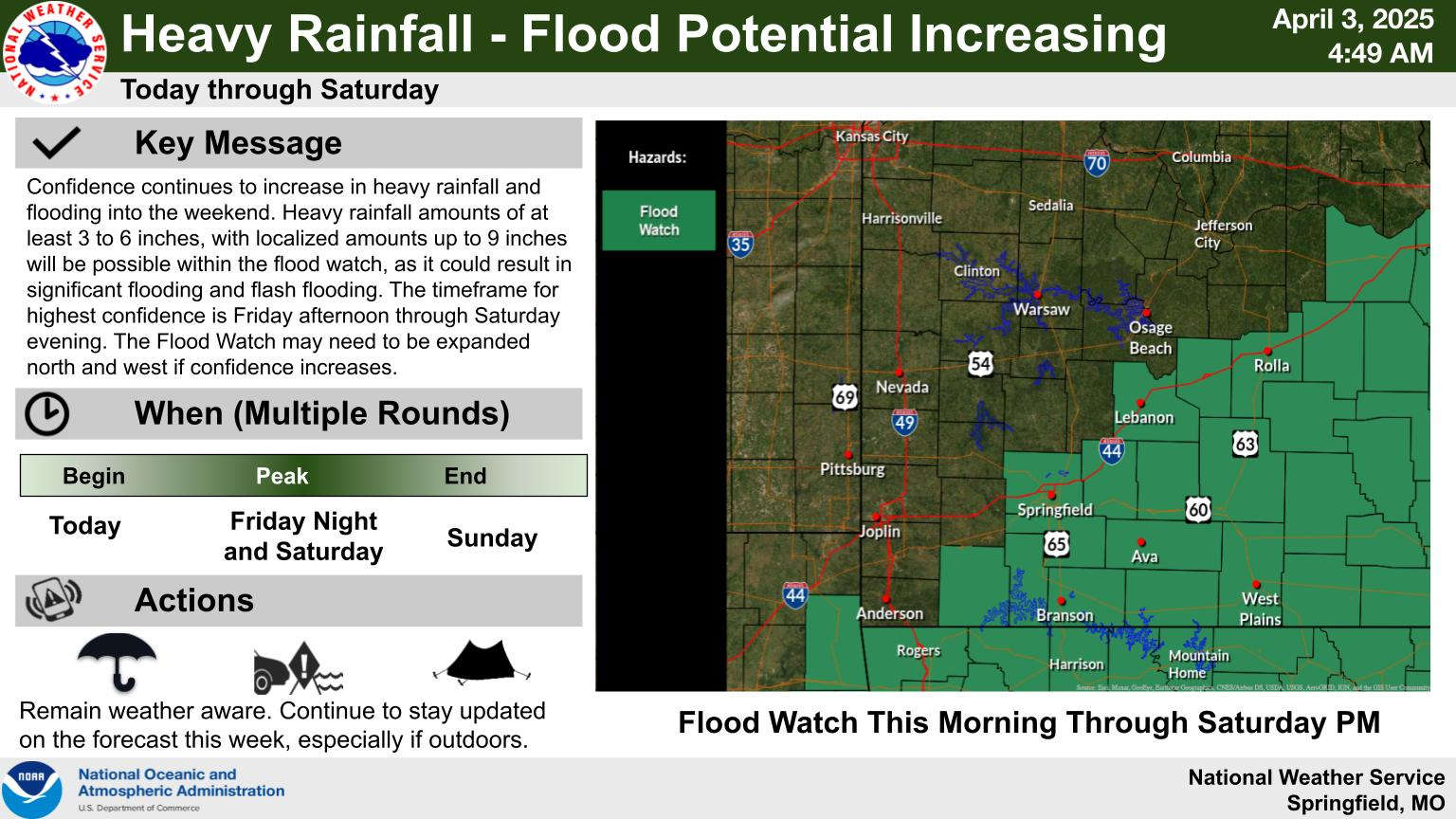
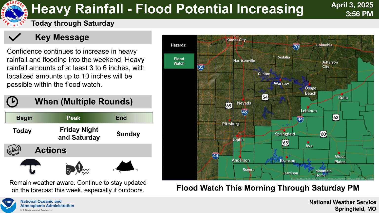
While severe weather is still a possibility over the next few days, most of the attention now turns to the heavy rain that will fall in the region. Flood Watches are in effect for both southern Missouri and northern Arkansas into the weekend with areas seeing three to six inches of rain with isolated amounts around nine inches possible. The Lakes Region is on the western end of the area expecting heavy rain while forecasters predicting a major flooding event for southeast Missouri and northeast Arkansas.
When the rain finally clears out on Sunday, colder temperatures are expected with widespread frost expected beginning Monday morning through mid-week.



 Heavy Rain, Severe Weather Update
 Eureka Springs Police Officers Save Lives in Fire
 Active Weather for the Week, Weekend
 Sides Pleads Not Guilty in Taney County Case